The Lower Minnesota River Watershed District (LMRWD) is a local, special-purpose unit of government that works to solve and prevent issues related to water. The LMRWD works to protect, improve, and provide education on valuable water resources that offer habitat for native species, recreational opportunities, and commercial barge navigation. The LMRWD was established for, and is tasked with, assisting with the maintenance of a nine-foot navigation channel in the Minnesota River for goods and services to be transported. The LMRWD manages the site to place removed sediment material, which is dredged from the river by another organization. The LMRWD also participates in capital improvement and cost-share projects to improve its water and natural resources.
The LMRWD is governed by five managers that are appointed by the counties that make up the LMRWD. The LMRWD has levy authority under Minnesota Statutes 103B and 103D, which informs the budget for work.
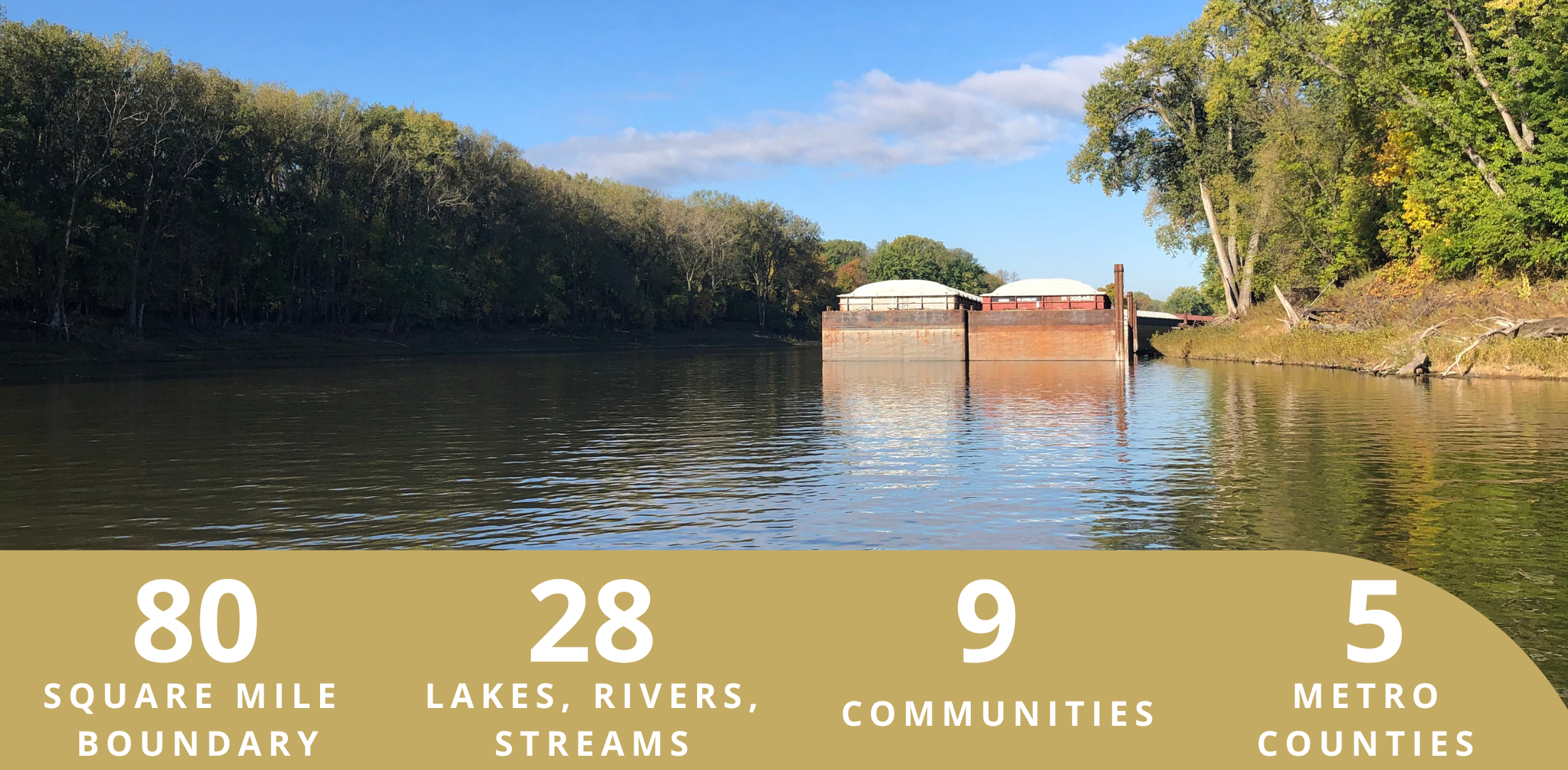
The LMRWD is approximately 80 square miles and includes parts of Carver, Dakota, Hennepin, Ramsey, and Scott counties. It includes parts of the communities of Bloomington, Burnsville, Carver, Chanhassen, Chaska, Eagan, Eden Prairie, Lilydale, Louisville Township, Mendota, Mendota Heights, Savage, Shakopee, and Spring Lake Township. It also includes unincorporated areas of Hennepin County (such as the Minneapolis-St. Paul International Airport and Fort Snelling) and Scott County (including parts of Spring Lake and Louisville Townships). The watershed begins where Minnesota and Mississippi rivers meet, continuing 32 miles upstream to the City of Carver, with spectacular bluffs on either side.
The LMRWD implements rules to oversee soil erosion control, floodplain and drainage alteration, stormwater management, and development on steep slopes within its boundary. These rules help protect public health and welfare, as well as preserve natural resources.


What Resources are in the District?